Challenge
Nature Positive Initiative’s State of Nature (SoN) Metrics
At present, there is no common, holistic approach to measure nature’s decline or recovery. To support this, the Nature Positive Initiative (NPI) is building consensus on a core set of universal State of Nature Metrics.
Improving the state of nature at the landscape scale requires collaboration between a range of stakeholders and across a variety of land use types and management approaches.
A barrier to landscape-level collaboration on nature-based projects can be the lack of a common framework for identifying, measuring and reporting biodiversity outcomes. A lack of clarity on the best biodiversity metrics that can be applied consistently across different actors, but are ecologically meaningful is a further challenge. Developing an understanding of the baseline condition of nature and facilitating progress toward a common goal is particularly relevant when seeking to implement collaboration across multiple properties and land tenures.
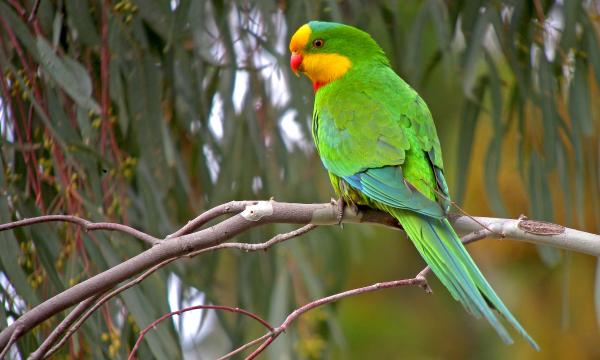
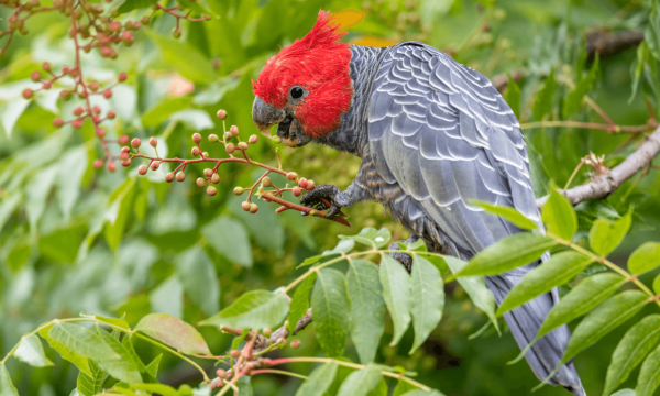
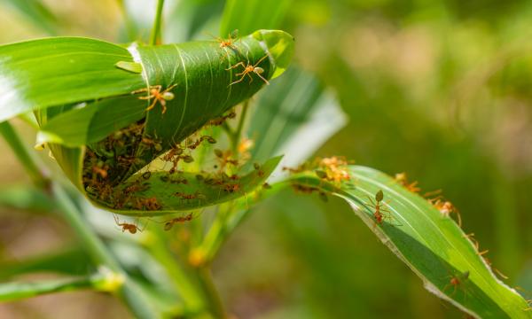
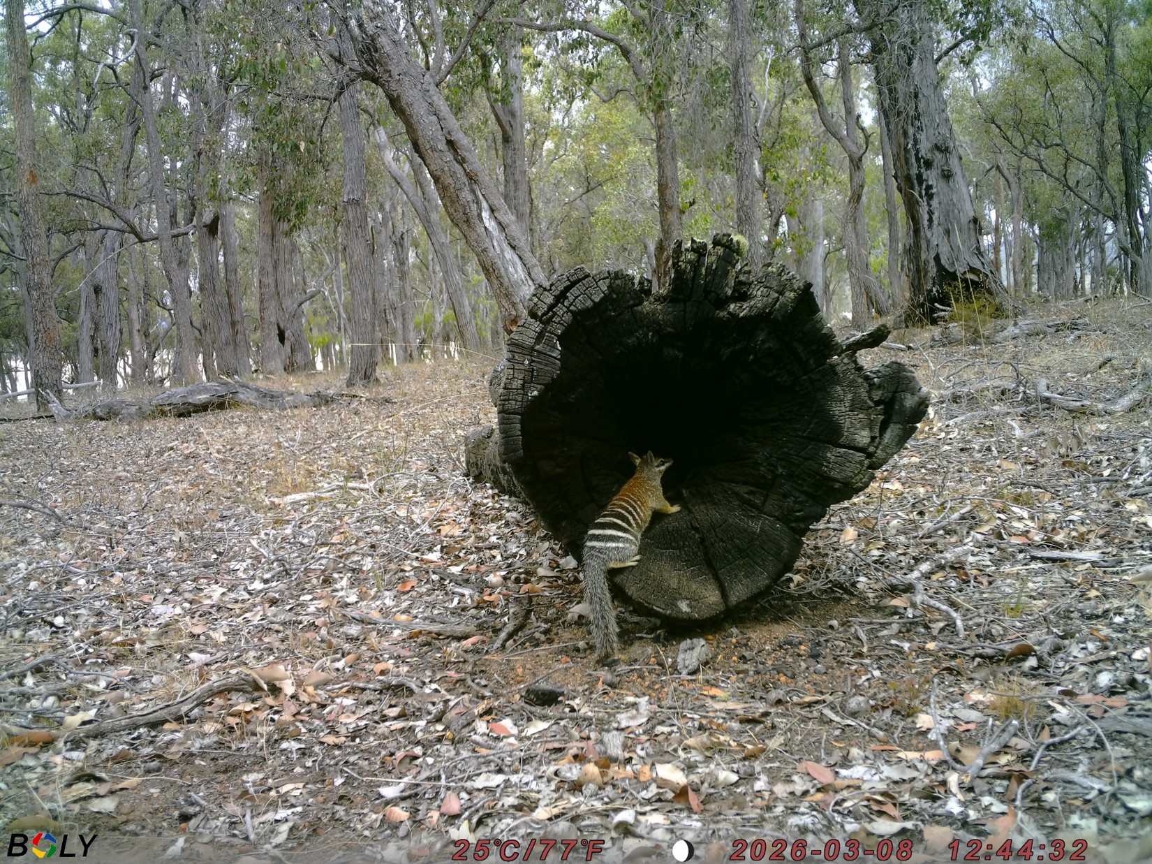
South Coast Western Australia pilot
In May 2025, New Forests was selected to participate in the Nature Positive Initiative’s pilot of their draft (SoN) Metrics. The draft metrics were based around tracking changes to:
- ecosystem extent
- ecosystem condition
- species (extinction risk and population abundance).
New Forests, South Coast NRM (SCNRM), PF Olsen (PFO), BirdLife Australia and NatureHelm came together to deliver a NPI SoN Metrics pilot. The pilot aimed to understand whether the metrics support:
- Joint decision-making to improve nature outcomes at the site, ecoregion, and landscape levels.
- SCNRM’s Natural Capital Program(Opens in a new tab/window).
- Future investment into the region by connecting to global initiatives.
- Communication with regional stakeholders.
This was the only pilot of its kind. It was valuable for understanding the applicability of the NPI SoN Metrics at the landscape scale.
Strategy and actions
The piloting organisations used NatureHelm’s geospatial data and analytics platform, to calculate the SoN Metrics based on the NPI proposed methodology. To supplement the geospatial data aggregated in the platform, the organisations also provided shapefiles and ground-based data, including bird surveys.
How the metrics were calculated
The team calculated the metrics at the low granularity to understand whether this lower-cost approach delivered meaningful outputs. While in some instances, the team calculated the metrics at a higher granularity, they primarily relied on satellite data of land cover to calculate the metrics to test scalability.
The metrics were calculated for five diverse sites:
- 56,000 hectares of plantation forestry and conservation area managed by PFO.
- Three priority sites for the SCNRM, ranging in size from 500,000 hectares to 2.5 million hectares and encompassing a range of land uses.
- The South Coast region, which covers 8.6 million hectares of a mixed-use landscape.
Stakeholder engagement
Throughout the pilot, there was engagement with a range of stakeholders to test the applicability of the SoN Metrics to the region. This included:
- Discussions with research organisations throughout the pilot to inform our approach.
- Hosting a workshop in September 2025 to share preliminary results with stakeholders, including Aboriginal Corporations, catchment managers, research organisations, government representatives, and industry groups.
- Hosting a workshop in December 2025 with the same stakeholders to share the results and discuss the limitations and potential use cases.
Engaging with stakeholders was important to:
- Understand whether the metrics would be useful to their existing work and future strategies.
- Support the identification of local data sources that may be beneficial for integration with the global satellite datasets.
- Identify key gaps and challenges for using the approach applied during the pilot.
“Understanding and utilising nature metrics is vital for measuring progress and ensuring the effective safeguarding and enhancement of our natural resources. Given the diversity of stakeholders, a fresh and innovative approach is essential to protect and elevate the value that nature provides to the South Coast region. Our pilot program with New Forests, BirdLife Australia, NatureHelm and PF Olsen is a crucial step in this direction, and we look forward to building on this foundational work.”
- Luke Bayley, CEO, South Coast NRM
Outcomes and lessons learned
Meaningful collaboration
The pilot was a collaborative effort between the participating organisations. It was successfully completed due to each organisation’s willingness to engage in the process and provide expert advice on the metric methodologies and the data sources, as well as the ground-based data.
Key challenges
Some of the primary challenges encountered during the pilot include:
- The requirement to set 2020 as the baseline year, when another year may be more relevant to an organisation based on the point of acquisition and more accurately reflect their nature impacts.
- The inability of satellite data to differentiate between plantation forestry and other forest types. The consortium was able to interpret these results by applying the known land use type.
- How to account for sustainable forest management’s cycles of harvesting, planting, and growth so that changes within planted areas are not misinterpreted.
- The course resolution of global datasets meant that small-scale native vegetation patches and restoration projects are not captured as improvements over time.
- Global datasets on extinction risk are inadequate and observed changes in extinction risk may reflect broader landscape or regional trends rather than project-level impacts.
- Global datasets more generally can provide an initial scoping exercise to understand basic ecological attributes. However, due to coarse resolution, local spatial layers and ecological datasets, or, in their absence, ground-based ecological surveys, will be required to gather more precise data for informing the SoN Metrics.
- Establishing reference sites to understand condition is challenging at a landscape scale. The team addressed this by using the catchment as the reference for larger sites, but this does not allow for detailed results across the site.
- Flexibility to select the methodology used when calculating condition introduces risks of inconsistent interpretation across regions and/or sectors.
- Species metrics require additional work, as change measurements cannot be calculated with current public data sources.
Providing further insights on the state of nature
At this stage of the project, the benefits are primarily related to knowledge building and supplementary insights on the state of nature for the piloting organisations and regional stakeholders. The organisations involved are interested in exploring how the NPI metrics could be enhanced in the future to provide more granular assessments of nature positive outcomes on the ground.
“Through our commitment to the sustainable land management and the restoration across the broader landscape, New Forests aims to deliver positive nature outcomes across our global portfolio. Until now, measuring sustainable land management and the restoration across the broader landscape, has relied on project or species-specific outcomes and has not facilitated a portfolio wide view. The NPI State of Nature Metrics are changing that, bringing a consistent methodology to compare the state of nature on our assets across time, location and asset type. Our participation in the pilot is just the beginning. While it provided valuable early insights, we can already see opportunities to further improve the data and methodology.”
- Jo Saleeba, Global Head of Sustainability & Impact, New Forests
Road ahead
The South Coast NPI SoN Metrics pilot was one of the several preliminary steps to improve natural capital investment, monitoring and reporting in the region. The use of satellite-based data to calculate the metrics was lower cost and effort than ground truthing. However, the pilot unveiled the importance of integrating local knowledge and ground-based data to understand changes to the state of nature. While ground-based data may not be feasible across an entire site due to scale and associated costs, at a minimum it can be used in the most material locations and/or to help train satellite-based models.
The NPI metrics represent a pivotal step in standardising how organisations measure and report on ecosystem extent, condition, and species. This is crucial for understanding where capital is required to maintain and improve the state of nature. This is an important basis to support ongoing funding and support for conservation and restoration.
New Forests, SCNRM, PFO, BirdLife Australia and NatureHelm will use the pilot outcomes as part of their respective, broader strategies around contributing to nature positive outcomes. For example:
- New Forests may use the pilot results to create an aggregated view of whether its portfolio of assets is enhancing or eroding natural capital.
- SCNRM is seeking subsequent funding to ground-truth the applicability of other multi-dimensional satellite data to measure landscape scale extent and condition more accurately.
- PFO is piloting the use of satellite images supplemented with high resolution drone captured images and field assessments to build a baseline assessment of vegetation structure and condition.
- BirdLife Australia is exploring how existing, long-term bird data held by the organisation may be used to develop benchmarks or enhanced metrics to track change.
- NatureHelm is translating the outcomes and feedback from the pilot project into automated workflows and advanced data analytics that can support and streamline broader adoption of the metrics by agribusinesses and investors across Australia and globally.
New Forests, SCNRM, PFO, BirdLife Australia and NatureHelm recommend that other organisations test whether the NPI metrics are useful to their land management. In particular, it is valuable to understand whether the metrics can support scaled investment into delivering nature positive outcomes.
Where possible, metric testing should be done in collaboration with other stakeholders to ensure the regional context is not lost within the global framework of the NPI. The piloting organisations also recommend that other groups consider:
- What granularity is appropriate for their operations.
- What data sources are most relevant and possible, given technology and cost constraints.
- How the metrics can leverage work that has been done to date.
For those interested in landscape scale projects, the pilot organisations encourage starting with a relatively low cost and low granularity approach to determine usefulness before requiring high levels of resourcing.
The piloting organisations also welcome engagement with other groups to improve data quality and availability in the South Coast region.
About the authors
New Forests(Opens in a new tab/window) is one of the world’s largest natural capital investment firms, investing in both the productive use and long-term stewardship of forests and land through sustainable real assets investment. New Forests manages approximately AUD $12 billion in assets under management, including over 4.3 million hectares of land across the regions in which it operates (figures as of 30 June 2025).
South Coast Natural Resource Management (SCNRM)(Opens in a new tab/window) is an independent, community-based organisation, providing regional leadership and expertise in natural resource management, conservation, sustainability, and climate adaptation. SCNRM works across the South Coast region of Western Australia, approximately 8.6 million hectares, including areas of global biodiversity significance .
PF Olsen (PFO)(Opens in a new tab/window) is Australia and New Zealand’s largest independent forestry service provider. The PF Olsen Australia team currently manages 150,000 hectares of commercial plantations across five states on behalf of their clients.
BirdLife Australia(Opens in a new tab/window) is the national bird conservation charity that is fighting to save birds and the natural life systems on which they depend. Its science-based approach uses large-scale citizen science monitoring and a network of staff, branches and partners to inform national environmental policy, drive advocacy and implement action to conserve Australia’s most imperilled bird species.
NatureHelm(Opens in a new tab/window) is a biodiversity intelligence platform that underpins big data with deep biodiversity expertise and Machine Learning to help organisations understand, monitor and manage nature-related risks at specific sites, and across global portfolios.


Banner image credit: D. van den Berg, PhD candidate UWA